A Faulty Foundation


|
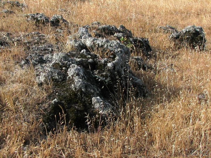
The foundation of all of Rockville Hills Regional Park is volcanic rock that is part of a large bed stretching northwest into Napa and Sonoma Counties. The rock quarried at Rockville was volcanic tuff, a light gray rock soft enough to cut easily but which hardens once it is excavated. Tuff is formed from volcanic ash that has been compacted and hardened over time into rock. There are other types of volcanic rocks visible around the park also.
In addition to the rocks that give "Rockville" its name, there are also sections of the Cordelia Fault that traverse the park.
In addition to the rocks that give "Rockville" its name, there are also sections of the Cordelia Fault that traverse the park.
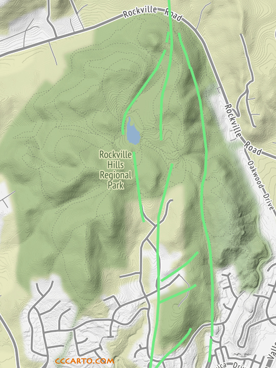

| The green lines show where the sections of the Cordelia Fault are located in the park. |
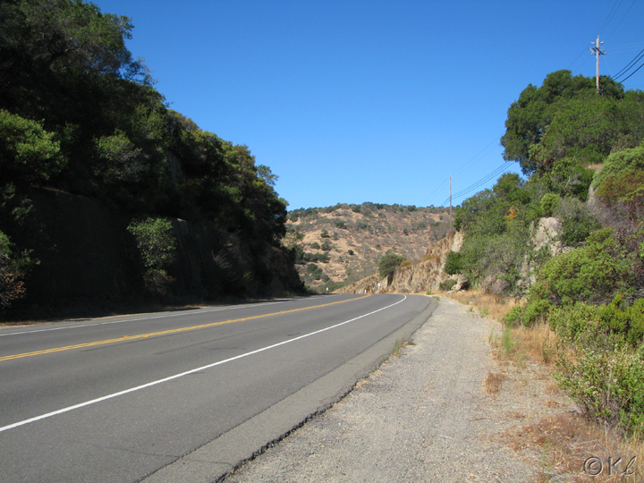

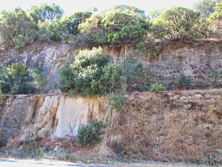
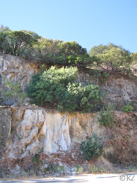
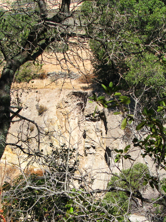
| The best way to see one of the Cordelia Fault lines is on Rockville Road, west (north) of the park's main entrance, in the section where rock walls rise on both sides of the road. |

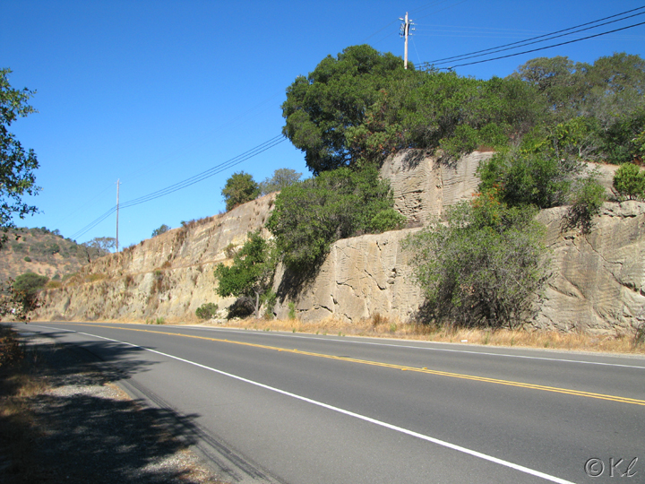

| As you drive by, look for trees growing out of the rock face on the right side of the road. |

| The trees mark a fracture in the rock face. This is the Cordelia Fault line. |
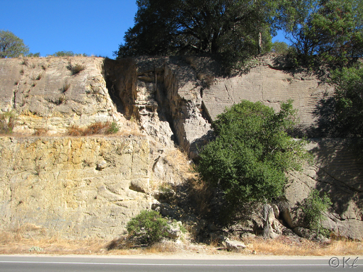


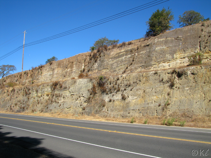
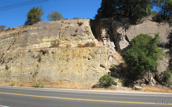
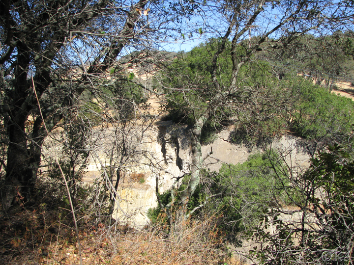
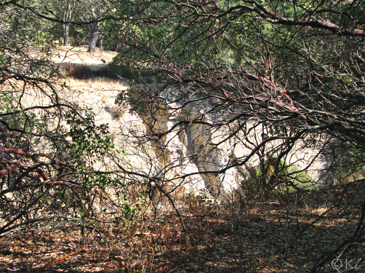
| You can also see the fault line on the park side of Rockville Road. It is less obvious than on the other side of the road--and often in the shadows--but still very visible. |


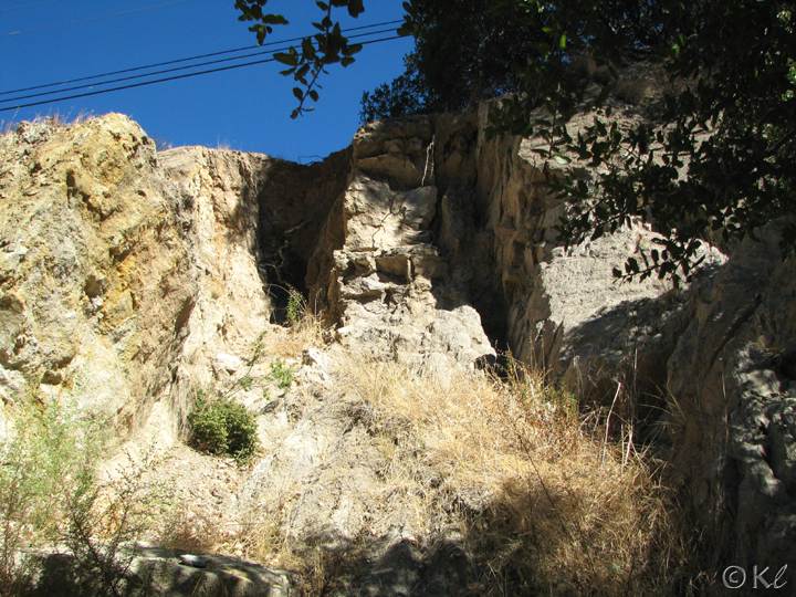
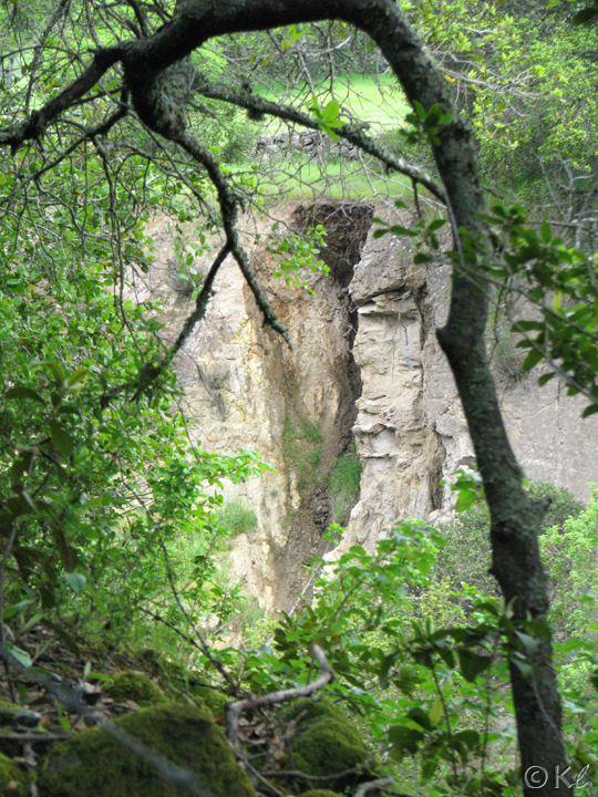
| It is possible to see the fault line from the Lower Quarry Trail in the park, but there are a lot of trees and bushes in the way. |


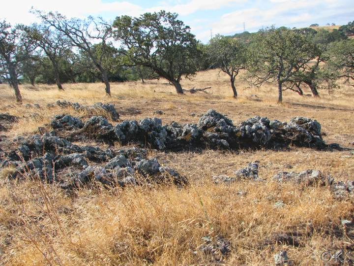

| Lava rocks (this photo and the next) can be found in various areas of the park. |